You will find here a list of hotels, guest houses, shelters, and camping places on the trail. Each entry includes name of the place (in local language), location (either GPS or km on the trail, or both), contact number or email, and basic description, expressed in signs. See below the explanation of signs:
 Hotel/hostel/guest house – Simply an accommodation inside, with reception and a warm bed.
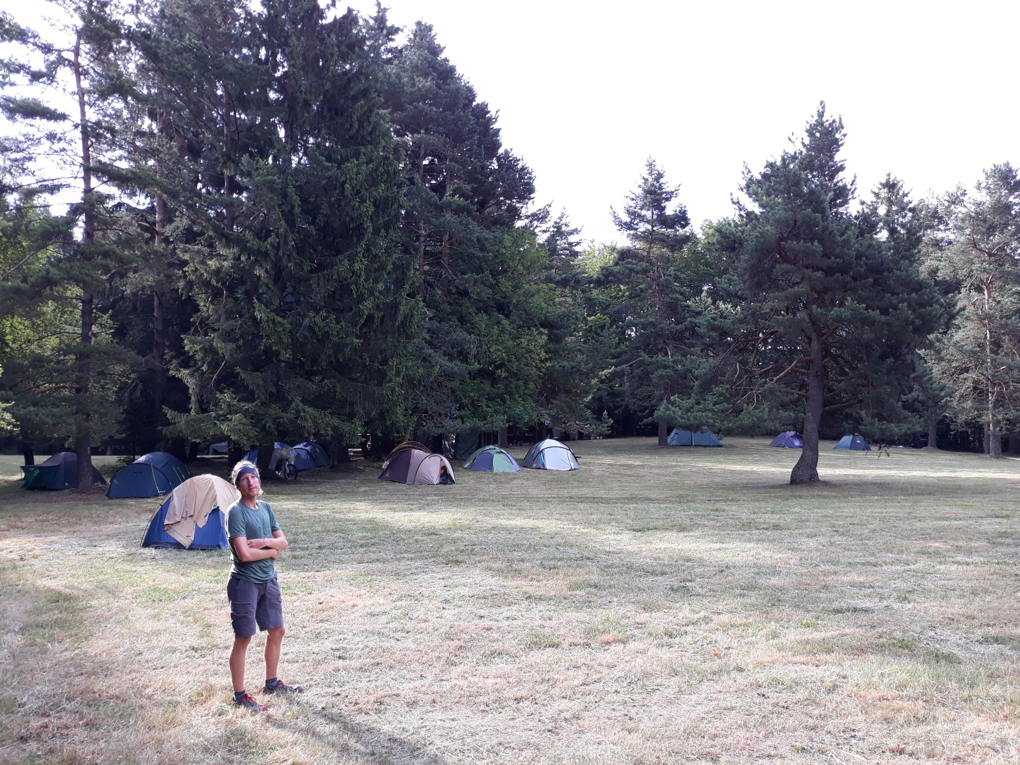
- Camping place/site – Place where you can pitch a tent, can be both organized and rural/wild.
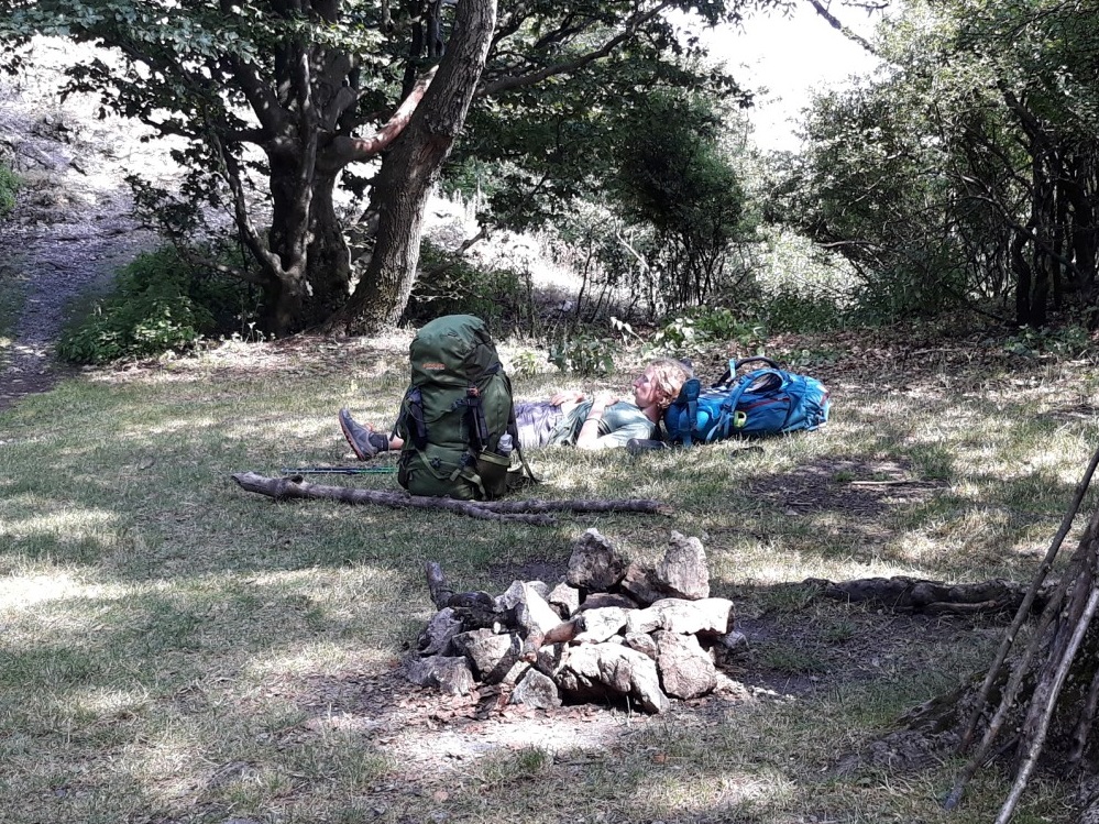
- Shelter – Ability to sleep inside, but without a reception or a bed (you need your own sleeping bag, but are protected from rain and wind with walls all around you.
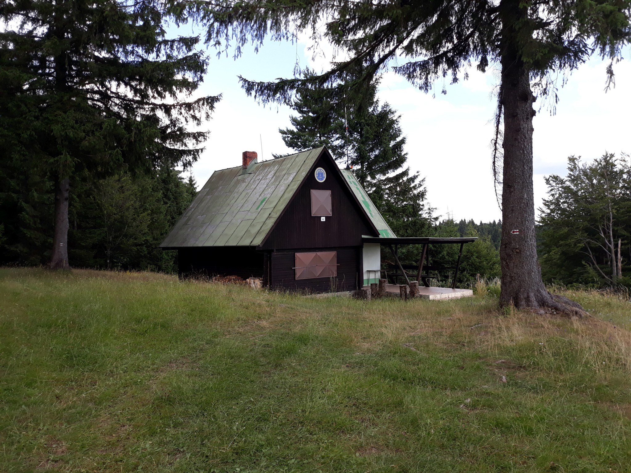
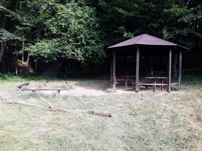
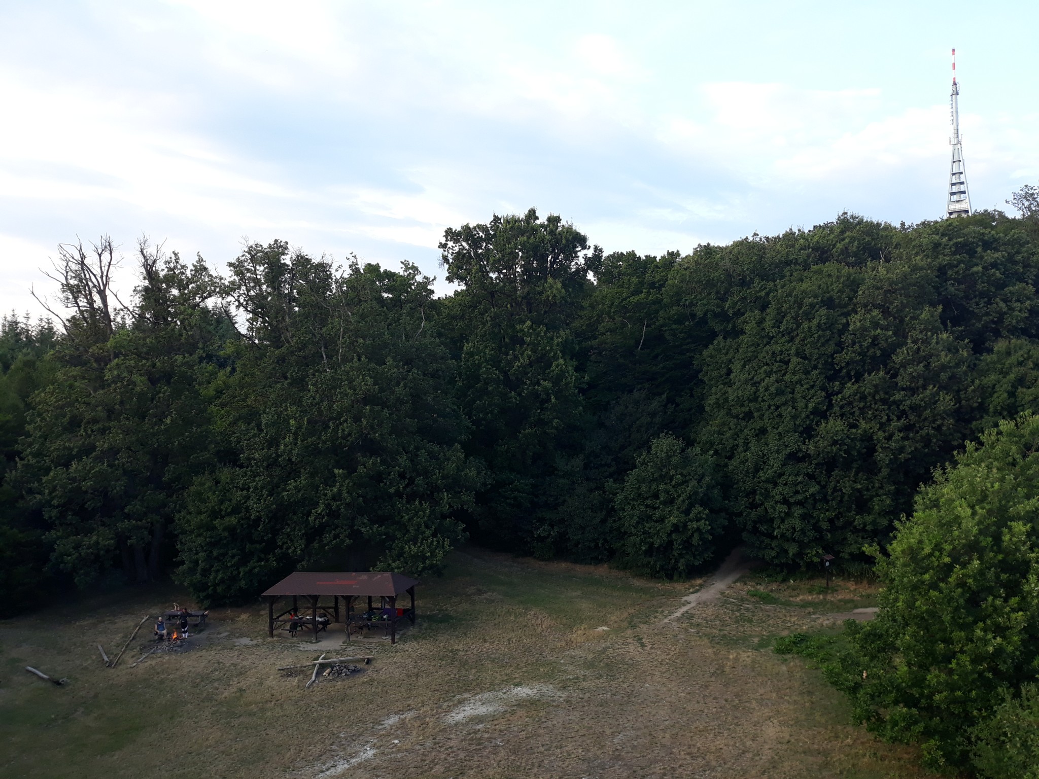
- Picnic place covered with a roof. Not exactly a shelter, since you won’t have four walls protecting you. But you can sleep dry in this type of a shelter, since a roof protects it from rain and snow.
- Eating options. The sign indicates that you can buy some food in the place.
- The sign indicates that you can find a water spring near the site (when , we do not show the water sign).
- Dog friendly. Do you hike with your beloved companion? This sign indicates that the place where you want to stay is dog-friendly (dogs can stay either directly with you, or have a comfy place assigned for them outside of the building).
- ,,, Price symbols. Free sign indicates a free shelter or donativo concept (you can give some money but do not have to), one dollar sign means inexpensive (range 1-15euro/night for a room/bed), two dollar signs indicate average price (15-35 euro per night for a room), and three dollar signs indicate a rather expensive accommodation (35+ euro for a room). If no symbol is displayed, it means that you can stay for free (most shelters and wild camping places)
That’s it for explanations, let’s start with the list!
Disclaimer: Some links on this website may be affiliate links. That means that when you click them and make a purchase (for example booking some accommodation along the trail on Booking.com), I may earn a small commission, at no extra cost to you whatsoever. This small income helps me to keep this website running, paying for hosting and domain renewal, and also to keep answering the questions of fellow long-distance hikers by email that keep coming regularly, week after week. Thank you :).
Table of Contents
Section no.1, from Dukla to Košice
- Km 8, Penzión Medveď, 49°24’17.3″N 21°38’10.0″E, Tel, +421543810049, ,,
- Km 17, Údolie Smrti, 49°19’38.9″N 21°35’34.4″E,
- Km 23, Lesopark Dukla, N49°19.534′ E21°33.794′,
- Km 27, Svidnik, various hotels and guest houses, all services, see three selected options below
- Hotel Rubín, 49°18’22.2″N 21°34’18.7″E, Tel, 00421547524210, book on Booking.com here. ,,
- School Dormitory Svidník, 49°18’26.5″N 21°33’53.3″E, Tel, 00421907940406, ,
- Camp Aquaruthenia, 49°18’29.7″N 21°33’35.3″E, Tel: +421 918 548 882, ,,,
- Hotel Rubín, 49°18’22.2″N 21°34’18.7″E, Tel, 00421547524210, book on Booking.com here.
- Km 33, Čierna Hora Shelter, N49.30425° E21.5077°, ,,
- Km 38, Sv. Florián, N49.31897° E21.46779°, ,
- Km 39, Chata Jančovka, N49.32417° E21.45895°, ,
- Km 56, Penzión Jana, Zborov, 49°22’01.1″N 21°18’36.3″E, Tel: 00421903633764, book comfortably on Booking.com here. ,
- Km 67, Sedlo Čerešňa, N49.33469° E21.24448°, ,
- Km 70, Bardejovské Kúpele, various hotels, all services
- Apart Club Zora, 49°19’53.7″N 21°15’45.6″E, Tel: 00421919230933, book comfortably on Booking.com here.,
- Penzión Jaluza, N49.329183° E21.269159°, Tel: 00421908959759, ,
- Penzión Jaja, 49°19’37.0″N 21°16’44.0″E ,Tel: 00421908378084,
- Penzión Zornička, 49°19’37.5″N 21°16’46.0″E , book comfortably on Booking.com here,
- Apart Club Zora, 49°19’53.7″N 21°15’45.6″E, Tel: 00421919230933, book comfortably on Booking.com here.
- Km 75, Bardejov, all services, many hotels and guest houses, check directly on Booking.com
- Km 89, Žobrák shelter, N49.23845° E21.17161°, ,,
- Km 98, Chata Čergov- mountain lodge, N49.17797° E21.18425°, +421910281693,,,* lodge open only on weekends, you can sleep under the roof even when the lodge closed. In such a case no food or water is available.
- Km 103, Hradisko pri Terni, N49.143° E21.22369°, ,
- Km 119, Šariš Park, 49°02’28.6″N 21°12’48.4″E, +421517470422,,
- Km 128, Cemjata shelter, N48.98318° E21.17459°, ,,
- Km 141, Prokopov Mlyn, N48.89484° E21.15403°, ,,, * you can sleep inside an abandoned house, or camp on a grassy place nearby.
- Km 148, Kysak -Brezie, N48.86159° E21.19394°, Tel: 00421902835499, ,,,, * the kitchen may or may not be operational, check with the staff. If indoors capacities are full, you can camp nearby.
- Km 153, Kysak, all services, Škola v prírode Kysak, N48.853116° E21.221781°,Tel: +421556991315, ,
- Km 161, Sedlo pod Vysokým Vrchom, N48.8242° E21.15407°, ,
- Km 168, Chata na Hrešnej, N48.77902° E21.18828°,Tel: 00421915319736, , , * accommodation is not possible in the hut, but you can use the services (restaurant, water) and sleep in a small shelter, or pitch a tent nearby.
- Km 172, Košice, Čermeľ. For dozens of accommodation options in the city of Kosice please go directly to Booking – Kosice. If you want to stay particularly close to Čermeľ, check one of the following options:
- Penzión Baránok, 48°44’56.6″N 21°14’01.0″E, Tel: +421556334318, ,,
- Hotel Štadión, 48°44’25.3″N 21°14’36.7″E, Tel: +421556330814, book comfortably on Booking.com. ,,
- Penzión Baránok, 48°44’56.6″N 21°14’01.0″E, Tel: +421556334318,
Section no.2, From Košice, Čermaľ to Donovaly
- Km 3, Hotel Bankov, 48°44’50.9″N 21°12’29.0″E, Tel: +421556324522–4, book comfortably on Booking.com. ,,
- Km 4, Picnic stand, N48.74484° E21.19305°, ,
- Km 10, Chata na Jahodnej, N48.76886° E21.13327°, Tel: 00421903269257, ,,
- Km 15, Chata Lajoška, N48.76405° E21.07812°, Tel: +421940922350 , ,,, * 2024 update: reconstruction completed, you can again sleep here.
- Km 25, Chata Erika, N48.7815° E20.97272°, Tel: +421 911 900 802, book comfortably on Booking.com. ,,,
- Km 30, Trohanka shelter, N48.76475° E20.91699°, ,,
- Km 35, Kloptáň shelter, N48.7794° E20.8594°, ,,
- Km 46, Štós Kúpele, N48.72142° E20.79065°, Tel: 00421554667532, ,, * Look for building “Komporday” for reception and reservations.
- Km 63, Chata Pod Pipitkou, N48.68576° E20.67974°, ,,, * Little bit off the trail, find by GPS
- Km 67, “Shelter” in Uhornianske Sedlo, N48.70202° E20.64936°, ,, * Bad condition, use only in emergency cases
- Km 78, Chata Volovec, N48.74248° E20.56962°, Tel: +421905107962, ,,,, * The hut is open only in summer months. If closed, you can use water spring and a huge “picnic” shelter nearby. 700m detour, follow green marks from Skalisko.
- Km 95, Shelter Gálová, N48.81609° E20.44336°, , , , * newly built, excellent condition, offers place for up to 10 people. Donation based, some drinks and small snacks may be available inside, but the place isn’t staffed. The nearest water spring is located 400 away, and you can locate it here: N48.81558° E20.45005°.
- Km 96, Chata pod Stromišom, N48.81091° E20.44186°, ,,, * You can use the verandah of this hunting hut as a shelter, it is used commonly by hikers since there are not many other shelters on this section of the trail.
- Km 105, Emergency shelter Sedlo Kruhová, N48.84837° E20.39925°, ,* on the high station of the ski lift, bad condition, recommended only in emergency cases, visible from the trail but 200m off.
- Km 107, Camping site above Dobšinský Kopec, N48.84775° E20.38101°, ,, * water is one km away, at N48.84606° E20.38109°, but easily located next to the main road.
- Km 109, Penzión Salamander, N48.85325° E20.38711°, Tel: +421910842369, book comfortably on Booking.com ,,, *1 km detour, follow yellow marks from Dobsinsky Kopec crossroad, direction “Dedinky”.
- Km 113, Voniarky shelter, N48.84922° E20.34012° ,,,
- Km 116, Pod Hanesovou, N48.85422° E20.30613°, ,,
- Km 120, Shelter “Pod Strmou Prťou“, N48.85255° E20.26764°, ,, * water is located a bit above the shelter, GPS: N48.85265° E20.26728°
- Km 124, Shelter above Besník pass, N48.84252° E20.25412°, ,
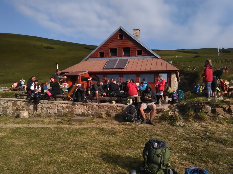
- Km 128, Telgart, different options for accommodation, shops restaurants. Check all for Telgart on Booking.com here, or follow our recommendation:
- Tourist hostel “Pod Kráľovou Hoľou”, 48°51’05.7″N 20°11’05.4″E, Tel: +421948008300, ,,
- Tourist hostel “Pod Kráľovou Hoľou”, 48°51’05.7″N 20°11’05.4″E, Tel: +421948008300,
- Km 134, Emergency shelter at Kráľova Hoľa peak, N48.88317° E20.13867°, * small capacity, often full, don’t rely on the shelter.
- Km 144, Andrejcova Shelter, N48.90162° E20.02323°, ,,, ,
- Km 150, Sedlo Priehyba, N48.90732° E19.95547°, ,,
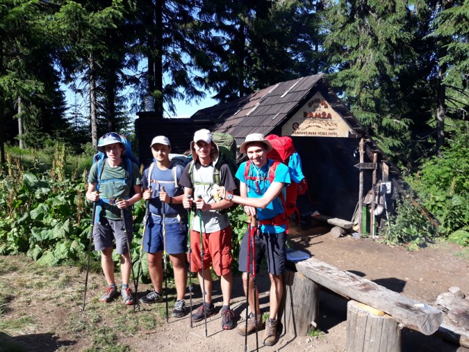
- Km 164, Shelter Ramža, N48.91251° E19.7972°, ,,,
- Km 172, Čertovica pass, N48.90543° E19.736°, different options for accommodation, camping is also allowed:
- Domček Horskej Služby, Tel: 00421944929173 ,,* highly recommended
- Motorest Čertovica, Tel: 00421903404101, Book comfortably on Booking.com. ,,
- Domček Horskej Služby, Tel: 00421944929173
- Km 180, Chata gen. M.R. Štefánika, N48.9265° E19.64987°, Tel: 00421944935467 ,,
- Km 186, Kamenná Chata, Chopok, N48.94342° E19.59073°, Tel: 00421486170039, ,,
- Km 198, Ďurková shelter, N48.93116° E19.46713°, ,,,,* basic food options, if full you can camp nearby.
- Km 216, Shelter in Hiadeľské Sedlo, N48.86284° E19.30554°, ,,
- Km 220, Shelter “Pod Kečkou“, 48°51’20.8″N 19°14’54.8″E, ,,, * they may offer basic food options, you pay as much as you want.
- Km 226, Donovaly, all services, check accommodation directly on Booking.com
Section no.3, From Donovaly To Trenčín
- Km 14, Emergency shelter “Pod Repišťom“, N48.87997° E19.11027°,,* bad condition, use only in case of emergency.
- Km 21, Kráľova Studňa hotel, N48.87605° E19.04098°, Tel: +421911827079, ,, ,
- Km 25, Emergency Shelter “Pod Krásnym Kopcom“, N48.86265° E19.0272°, ,
- Km 43, Cabanka shelter, N48.76741° E19.00829°, ,, * 250 meters detour from the trail, follow marks to Cabanka from Kordícke sedlo crossroad
- Km 46, Picnic stand at Gergeliho Tunel, N48.74919° E18.99709°, ,
- Km 48, Skalka ski center, different accommodation options and restaurants
- Mountain lodge Limba, 48°44’20.2″N 18°59’02.5″E, Tel: +421901752553, ,, ,
- Mountain hotel Minciar, 48°44’19.2″N 18°58’58.3″E, Tel: +421456743933, ,,
- Pension Guldiner, 48°44’24.3″N 18°59’27.2″E, Tel: +421917188453 ,,,, * the most expensive one at Skalka, but one that’s nearly always available; only small dogs are accepted.
- Mountain lodge Limba, 48°44’20.2″N 18°59’02.5″E, Tel: +421901752553,
- Km 53, Pension “Stred Európy“, N48.72565° E18.94185°,Tel: 00421456742846, ,, , * huge capacity, always available, 500 meters detour from the road, follow blue marks to the center of Krahule village
- Km 64, Covered sitting area at Medvedí Prameň spring, N48.72854° E18.82336°, ,, * recently renovated, in good condition
- Km 68, Hut of local radio amateurs, N48.75753° E18.81927°, , * if somebody is in the hut, you may sleep inside. If not, you can use the covered area in front of the hut. Beautiful spot with nice views.
- Km 76, Camping site Jalovské Lazy, N48.7984° E18.76559°, ,,
- Km 83, Camping site near hut Štyri Choráre, N48.83779° E18.7228°, ,, , spring location: N48.84132° E18.71948°
- Km 88, Picnic shelter near Žiare, N48.86306° E18.7025°, ,, * near a hunting hut, you can use the sitting/camping place outside the hut, as well as the nearby spring
- Km 102, Vrícke Sedlo, emergency camping site, * right in the pass, next to the road (a quiet one). Not a convenient place but if you arrive here in the evening there’s a flat space where you can camp.
- Km 111, Fačkovské sedlo, Guest House & Restaurant Kľak/Mountain hotel Kľak, N48.96315° E18.6111°, Tel: 00421918397949, book comfortably on Booking.com, ,, , * the hotel is much cheaper than the modern guest house, however they often organize camps for children in summer, and you will find free rooms only in the guest house (right above the restaurant).
- Km 122, Čičmany, various options for accommodation but no grocery store
- Pension Katka, N48.9574° E18.51632°, Tel: 00421948975136, ,,
- Pension Javorina, N48.95334° E18.5131°, Tel: +421905835089 , book comfortably on Booking.com,,, ,
- Pension Bystrík, N48.955655°, E18.517166°, Tel: +421903483454, ,,
- Pension Katka, N48.9574° E18.51632°, Tel: 00421948975136,
- Km 128, Strážov pass, N48.95912° E18.46367°, ,, * You can either camp directly in the “pass”, or just use the spring there and camp on the meadows close to the peak of Strážov.
- Km 131, Tourist hostel Zliechov, N48.94875° E18.42955°, Tel: 00421910268087,,,
- Km 144, Camping ground at Srvátkova Lúka, N48.9302° E18.33011°, ,
- Km 148, Amphitheater Horná Poruba, N48.93248° E18.30827°, ,* 250 meters detour from the trail, walking up the village. Walking down (in the opposite direction), you’ll find shop and taverns.
- Km 150, “Santa Fe” shelter, N48.9267° E18.29158°, ,
- Km 156, Shelter below Omšenská Baba, N48.91489° E18.2345°, ,,, * new, in good condition, right below the spring.
- Km 157, Bôčky meadows, N48.9173° E18.22212°, ,
- Km 163, Trenčianke Teplica, all services, spa town, you can look directly on Booking.com.
- Km 171, Pension Kyselka, N48.88639° E18.09355°, Tel: 00421905708634, ,, * next to mineral water spring
- Km 176, Trenčín, all services, plenty of accommodation options, check directly on Booking.com.
Section no.4, From Trenčín to Devín castle
- Km 6, Záblastská Kyselka, N48.90755° E17.98294°, ,,
- Km 14, Meadows “Pod Sokolím Kameňom”, N48.9049° E17.90913°, ,, * the spring is 250 meters before the camping site, directly on the trail.
- Km 21, Picnic stand at Vyškovec, N48.93338° E17.83802°, ,
- Km 21.5, Vyškovec mountain lodge, N48.94243° E17.83325°, Tel: +420606148136,,, * basic food options may be available.
- Km 25, Mikulčin Vrch, recreational center, different options for accommodation:
- Pension Patrik, N48.94499° E17.80961°, Tel: +420602112262, book comfortably on Booking.com, ,,
- Mountain Lodge Arnika, N48.9433° E17.80356°, Tel: +420608091471, ,,,
- Mountain Lodge Jana, N48.94308° E17.80703°, Tel: +420720041121, book comfortably on Booking.com, ,,,
- Mountain Lodge Lopata, N48.95004° E17.80167°, Tel: +420776021519, ,
- Pension Patrik, N48.94499° E17.80961°, Tel: +420602112262, book comfortably on Booking.com,
- Km 42, Picnic stand at Kamená Bouda, N48.89254° E17.65696°, ,
- Km 47, Holubyho Chata (mountain lodge), N48.85724° E17.68173°, Tel: +421903435947,,,
- Km 57, Shelter at Jurášova Lúka, N48.80736° E17.60096°, ,
- Km 59, Guest house Samuel, N48.7887° E17.5983°, Tel: +421905219239, book comfortably on Booking.com, ,,
- Km 65, Hotel Štefánik, 48°44’57.4″N 17°33’52.4″E, Tel: +421346212121, book comfortably on Booking.com,,,
- Km 76, Camping ground near Cairn of Milan Rastislav Stefanik, ,,, * You can either camp near the abandoned restaurant or even sleep under the roof on the terrace
- Km 79, Pension Tvarožek, 48°39’54.9″N 17°32’24.5″E, Tel: +421905284783, ,,
- Km 84, Shelter at Ostrá Úboč, N48.63887° E17.53387°,,
- Km 91, Dobrovodský Hrad (castle), N48.60937° E17.52842°, , , * 300 meters detour from the trail, there are fireplaces and some benches in the area. Be sure to leave the place (or at least pack the tent) before 8am.
- Km 92, Pension Skalka, 48°35’40.7″N 17°32’33.8″E, Tel: 00421903455534, ,,
- Km 117, Buková dam, camping ground, N48.53095° E17.35872°, ,/,*,,* price depends on the season, it’s either free or you pay a small fee for your tent; it’s a 800m detour, follow yellow marks from “Brezinky”, you will also see the dam down below. If the bar is closed, outside of summer and weekends, you may not get drinking water here.
- Km 125, Amonova Lúka shelter, N48.48102° E17.30728°, ,,,
- Km 130, Vápenná camping ground, N48.46005° E17.27368°, ,
- Km 133, Picnic stand at Sološnícka Dolina, N48.44992° E17.24716°, ,
- Km 143, Čermák, N48.38495° E17.24582°, ,,,
- Km 146, Zochova Chata hotel, N48.38136° E17.27763°, Tel: +421332633300, book comfortably on Booking.com,,,, *3 km detour, follow yellow marks
- Km 151, Chata Korenný Vrch, N48.34783° E17.18988°, Tel: 00421907989328, book comfortably on Booking.com,,
- Km 163, Picnic stand at Salaš, N48.27107° E17.15761°, ,, * for the spring you’ll have to walk extra 500 meters on the trail.
- Km 166, Horáreň Biely Kríž, N48.24857° E17.14427°, ,,
- Km 169, Shelter at Červený Kríž, N48.22968° E17.12642°,,,
- Km 177, Hotel West, N48.18475° E17.09561°, Tel: +421254788692, book comfortably on Booking.com,,,
- Km 178, Shelter “Na Kamzíku”, N48.17994° E17.08741°, ,,
- Km 198, Penzión u Srnčíka, Devín, 48°10’16.4″N 16°59’08.2″E, Tel: 00421902182430, ,, * You can also take a bus to the city center and book any accommodation in Bratislava. See the selection on Booking.com.
May also interest you: